FreemanGIS, Inc.
Subject Matter Experts in High Consequence Areas (HCAs)
High Consequence Area Expertise
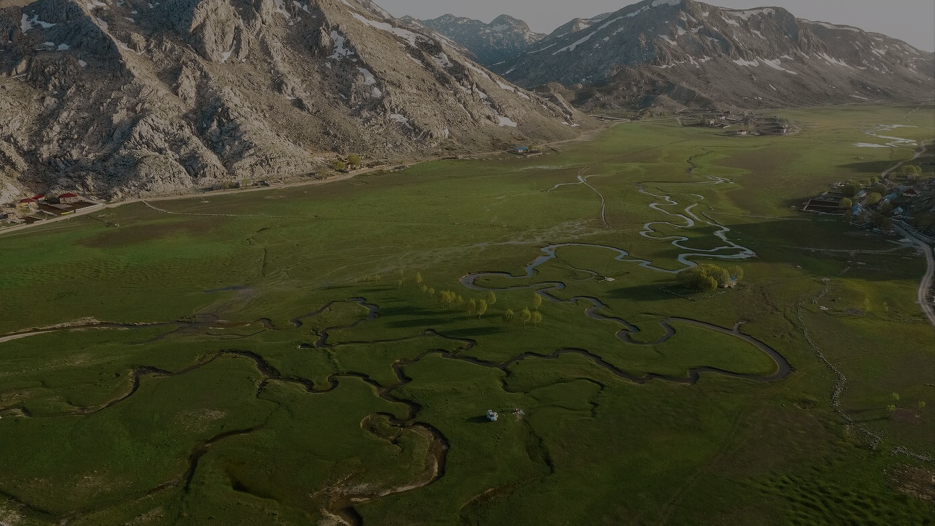
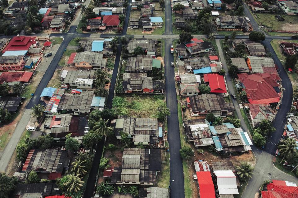
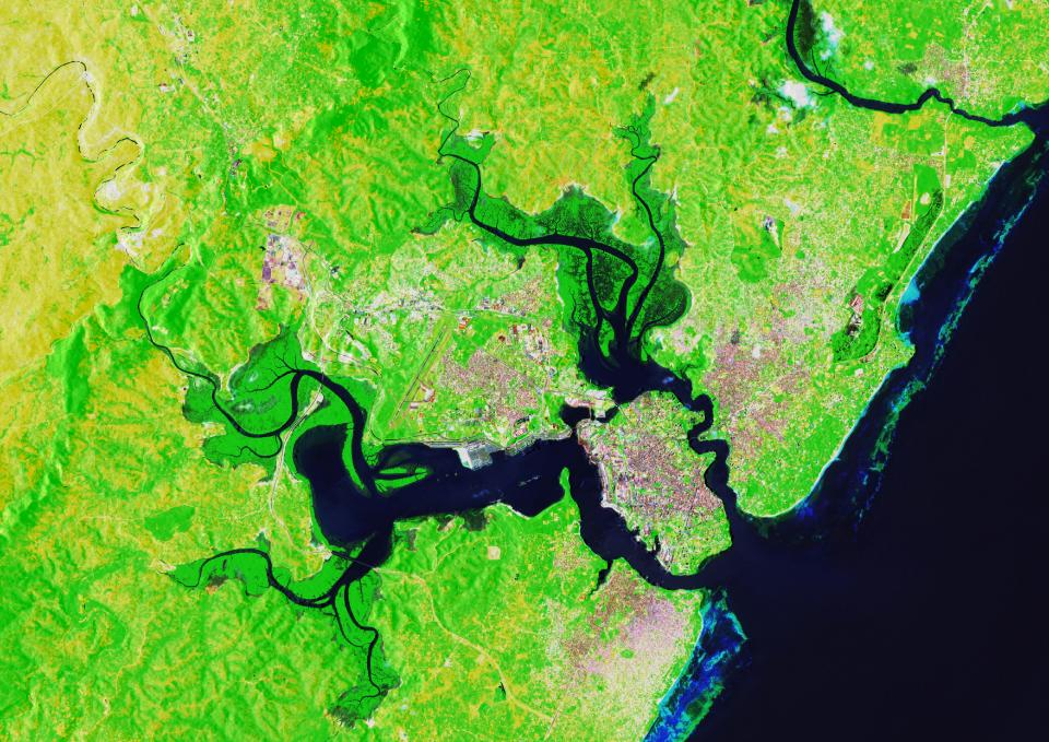
FreemanGIS helped formulate the Unusually Sensitive Area (USA) definition and GIS identification process for ecological and drinking water resources. USAs are integral to federal pipeline safety rules that ensure implemented protection for hazardous liquid pipelines that could affect High Consequence Areas. HCAs are populated areas, commercially navigable waterways, sensitive species habitats, public drinking water sources, and certain coastal waters as defined in USDOT Title 49 CFR Parts 195.450 and 195.6. Click here to see our related services.
Geospatial Solutions
FreemanGIS provides professional geographic information system (GIS) services that enhance environmental understanding. Our clients rely on us for clear and insightful advice to leverage geospatial data for their specific business interests. Our services include:
Address
405 E Emma St,
Lafayette, CO 80026
USA
© 2025 FreemanGIS, Inc.